Cycling August 6, 2026
Best Map Apps for Bike Routes: A 2026 Comparison of Komoot, Strava, and Others
Cycling App Selector
What is your primary goal?
What is most important to you?
Based on your selection: We recommend for your rides.
Komoot
The King of Adventure Routing.
- ✔ Best surface data
- ✔ Scenic discovery
- ✘ Monthly limits on free plan
Strava
The Social Powerhouse.
- ✔ Heatmap safety data
- ✔ Community insights
- ✘ Cluttered interface
OsmAnd
The Open-Source Heavyweight.
- ✔ Ultimate customization
- ✔ True offline capability
- ✘ Steep learning curve
Waze
The Commuter’s Friend.
- ✔ Real-time traffic avoidance
- ✔ Free to use
- ✘ Car-centric routing
You know that feeling when you’re halfway through a ride, your phone battery is dying, and you realize you have no idea how to get back? Or worse, you’ve been led onto a busy highway by a GPS designed for cars. It’s frustrating, dangerous, and completely unnecessary in 2026. The question isn’t just "what map works," but "which map understands cycling?"
Not all maps are created equal. A standard street map might show you the shortest distance, but it won’t tell you if that path involves climbing a 15% gradient or riding next to speeding trucks. Finding the best map for bike routes means looking for tools that prioritize safety, surface type, and elevation over raw speed.
Why Standard Maps Fail Cyclists
If you rely on generic navigation apps like Google Maps or Apple Maps for serious cycling, you’re likely facing two major issues. First, these platforms optimize for car traffic. They will happily route you through industrial zones with poor air quality or roads with heavy truck traffic because they are technically "fast." Second, they lack granular data about road surfaces. You need to know if a path is asphalt, gravel, or dirt before you commit to it, especially if you’re on a road bike with thin tires.
Cycling-specific maps solve this by using different algorithms. Instead of minimizing time, they minimize stress. They factor in:
- Surface Type: Distinguishing between paved cycle paths, shared pedestrian zones, and rough trails.
- Traffic Stress: Avoiding high-speed arterial roads in favor of quieter residential streets.
- Elevation Profiles: Showing you exactly where the climbs are so you can pace yourself.
- Trail Difficulty: Rating technical sections based on skill level.
This distinction is crucial. A commuter needs reliability and safety; a mountain biker needs technical challenge and trail connectivity. The "best" app depends entirely on what kind of rider you are.
Komoot: The King of Adventure Routing
When building custom rides, Komoot is a leading trip planning platform that uses detailed terrain data to suggest scenic and safe cycling routes. Known for its highly accurate activity maps, Komoot stands out because it doesn't just draw a line from A to B. It analyzes millions of user tracks to understand which paths cyclists actually prefer.
The real magic lies in its segmentation system. Komoot breaks your ride into segments, each with its own description, difficulty rating, and point of interest (POI) recommendations. If you’re riding near Bristol, it might suggest a specific café known for great coffee right after a steep climb. This adds a layer of discovery that pure navigation apps miss.
For route creation, Komoot offers a drag-and-drop interface that feels intuitive. You can pull the route line toward green spaces to avoid traffic or push it away from hills if you’re having an off day. The offline maps are robust, downloading entire regions rather than just single routes, which is essential if you plan to explore remote areas without signal.
However, Komoot’s strength is also its weakness for some users. The free version has limitations on the number of activities you can create per month. Serious planners often subscribe to the annual plan to unlock unlimited route creation and advanced weather overlays.
Strava: The Social Powerhouse
If Komoot is about exploration, Strava is a social network for athletes that leverages heatmaps and community data to identify popular cycling corridors. Originally known as a fitness tracker, Strava has evolved into a powerful routing tool thanks to its Heatmap feature.
The Heatmap shows you where other cyclists have ridden. Darker colors indicate higher traffic density. This is incredibly useful for finding safe routes. If a street is dark red on the heatmap, you know hundreds of people ride there regularly, implying it’s likely safe and well-maintained. Conversely, light blue areas might be untested or dangerous.
Strava’s routing engine, available primarily to subscribers, builds routes based on this collective intelligence. It’s excellent for urban commuting and group rides because it aligns with where the local cycling community already goes. The integration with your training data is seamless. You can see past efforts on specific segments, allowing you to gauge difficulty before you start.
The downside? Strava’s interface can feel cluttered with social features. If you just want a clean map without notifications about friends’ achievements, it might be distracting. Also, while the Heatmap is powerful, it doesn’t always account for recent changes in road infrastructure or temporary closures.

OsmAnd: The Open-Source Heavyweight
For tech-savvy riders who value privacy and customization, OsmAnd is an offline GPS navigation application built on OpenStreetMap data, offering unparalleled control over routing preferences.
OsmAnd isn’t pretty. Its interface looks like it was designed in the early 2010s. But under the hood, it’s a beast. Because it runs on OpenStreetMap (OSM), the most comprehensive open-source map in the world, it often has more detailed information about small trails, footpaths, and local shortcuts than commercial competitors.
You can tweak almost every aspect of the routing algorithm. Want to avoid stairs? Check. Prefer wider sidewalks? Check. OsmAnd allows you to assign weights to different criteria, creating a hyper-personalized routing experience. It’s particularly strong for multi-modal trips, such as combining cycling with public transport.
The learning curve is steep. Setting up OsmAnd requires patience. You’ll spend time configuring profiles and downloading map tiles. But once set up, it’s incredibly reliable. It works fully offline, consumes less battery than many cloud-dependent apps, and respects your data privacy since processing happens on-device.
Waze: The Commuter’s Friend (With Caveats)
Many daily commuters stick with Waze is a crowdsourced navigation app primarily designed for cars, but increasingly used by e-bike commuters for real-time traffic avoidance.
Waze excels at one thing: avoiding traffic jams. If you’re on an e-bike and need to get to work quickly, Waze’s real-time alerts about accidents, police, and congestion are unmatched. It will reroute you instantly around bottlenecks.
However, Waze treats all vehicles equally. It might send you down a narrow alleyway that’s fine for a car but terrifying for a cyclist. It lacks surface data and elevation profiles. Use Waze only if your primary concern is time efficiency and you’re comfortable navigating unfamiliar urban environments on two wheels. Always double-check the suggested route visually before committing.
Comparison Table: Key Features at a Glance
| Feature | Komoot | Strava | OsmAnd | Waze |
|---|---|---|---|---|
| Primary Focus | Adventure & Scenic Routes | Social Riding & Training | Customization & Offline Use | Real-Time Traffic Avoidance |
| Surface Data | Excellent | Good (via Heatmap) | Very Good (OSM dependent) | Poor |
| Offline Maps | Yes (Region-based) | Limited | Yes (Tile-based) | No |
| Cost Model | Freemium (Subscription for pros) | Freemium (Subscription for routing) | One-time purchase + optional plugins | Free |
| Best For | Weekend explorers & Touring | Group rides & Urban commuters | Tech enthusiasts & Privacy advocates | E-bike commuters in cities |

How to Choose the Right App for Your Needs
Selecting the best map depends on your riding style. Here’s a quick decision guide:
- The Weekend Explorer: Choose Komoot. You want to discover new places, enjoy scenic views, and avoid stressful traffic. The segment descriptions help you appreciate the landscape.
- The Social Rider: Choose Strava. You ride with friends, compete on segments, and want to see where the local crowd goes. The Heatmap provides safety in numbers.
- The Tech-Savvy Commuter: Choose OsmAnd. You want total control, offline reliability, and don’t mind spending time configuring settings. You value privacy and detailed trail data.
- The Time-Crunched E-Biker: Choose Waze. You need to beat traffic to get to work. Just be prepared to manually adjust routes that seem unsafe for bikes.
Don’t be afraid to use multiple apps. Many cyclists use Komoot for planning weekend adventures and Strava for tracking their weekday commutes. Syncing data between platforms is usually straightforward via GPX files.
Pro Tips for Using Bike Maps Effectively
Even the best app can’t replace common sense. Follow these tips to stay safe and efficient:
- Download Offline Maps Before You Go: Signal drops in rural areas and tunnels. Ensure your region is downloaded. Komoot and OsmAnd excel here.
- Check the Surface Legend: Learn what the icons mean. A dashed line might mean a shared path, while a solid line indicates a dedicated cycle lane. Misinterpreting these can lead to unexpected obstacles.
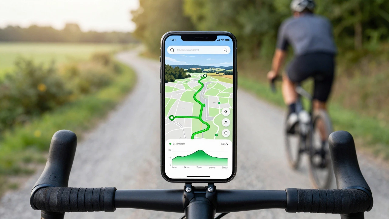
- Use Mounts Wisely: Secure your phone in a handlebar mount. Glancing down at your pocket while riding is dangerous. A sturdy mount keeps your screen visible and accessible.
- Verify Routes Visually: Before starting, scroll through the route preview. Look for sharp turns or steep gradients. Adjust the route if something looks suspicious.
- Keep Battery Alive: Navigation drains battery fast. Carry a power bank or use your phone’s low-power mode. Some mounts even offer wireless charging.
Future Trends in Cycling Navigation
By 2026, we’re seeing increased integration of AI in routing algorithms. Apps are beginning to predict traffic patterns based on historical data and current events. We’re also seeing better integration with smart helmets and head-up displays, allowing riders to keep their eyes on the road while receiving turn-by-turn directions via audio or bone-conduction headphones.
Additionally, city governments are collaborating with mapping services to provide real-time updates on cycle lane closures and construction. This dynamic data makes navigation more responsive to changing urban environments.
Is Komoot free to use?
Komoot offers a free tier that allows basic route planning and navigation. However, it limits the number of activities you can create per month. For unlimited route creation, offline maps, and advanced features like weather overlays, a paid subscription is required.
Which app is best for mountain biking?
Komoot is widely considered the best for mountain biking due to its detailed trail data, difficulty ratings, and segmentation. OsmAnd is a strong alternative if you prefer customizable offline maps and open-source data.
Can I use Google Maps for cycling?
Yes, Google Maps has a cycling mode that avoids highways and prioritizes bike lanes. However, it lacks detailed surface information and elevation profiles. It’s suitable for simple urban commutes but not recommended for long-distance touring or off-road adventures.
Do I need a smartphone for bike navigation?
While smartphones are convenient, dedicated GPS cycling computers like Garmin or Wahoo offer better battery life, durability, and specialized metrics. However, modern smartphone apps like Komoot and Strava provide comparable functionality for most casual and intermediate riders.
How do I transfer routes from Komoot to my device?
You can sync routes directly to the Komoot app on your phone or tablet. For dedicated GPS devices, you can export routes as GPX files from the web platform and import them via USB or Bluetooth connection.