Offline Cycling Navigation: Tools, Routes, and How to Ride Without GPS
When your phone dies, your signal drops, or you’re riding deep in the countryside with no cellular coverage, offline cycling navigation, a system that lets cyclists find their way without an internet connection. Also known as GPS-free cycling, it’s not just for adventurers—it’s a basic skill for anyone who rides long distances, trains in remote areas, or just hates losing their route mid-ride. You don’t need constant connectivity to know where you’re going. You need the right tools, the right mindset, and a little preparation.
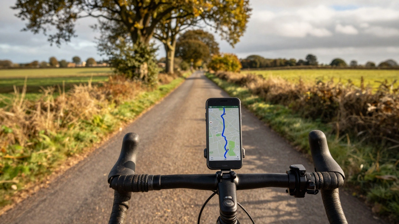
Most riders think navigation means apps like Strava or Google Maps—but those rely on data. Real offline navigation uses cycling maps, detailed, downloadable topographic or route-specific charts designed for bikes. These include Komoot routes, OpenStreetMap downloads, and paper maps from Ordnance Survey. Then there’s the bike navigation app, software that stores maps locally on your device so you can track your position even without a signal. Apps like Locus Map, OsmAnd, and Gaia GPS let you preload entire regions, mark waypoints, and follow trails with turn-by-turn cues—all offline. And let’s not forget the oldest tool of all: the cycling routes, pre-planned paths with known landmarks, elevation changes, and turn points. Think of the Hadrian’s Wall Path or the EuroVelo network. These aren’t just trails—they’re stories you can ride, written into the landscape.
People who ride without GPS often know their route better than those who follow a screen. They notice a bend in the river, a change in the stone wall, a specific tree by the lane. They remember how the climb feels after the third gate. That’s the power of offline navigation—it turns riding into knowing. It’s not about tech. It’s about connection. And when you’re out there, miles from the nearest town, with your phone in your pocket and your eyes on the road ahead, that connection is everything.
Below, you’ll find real advice from riders who’ve navigated foggy moors, mountain passes, and forgotten backroads—all without a signal. Whether you’re planning your first long ride or just tired of your app crashing mid-climb, these posts give you the practical tools, routes, and mindset to ride with confidence, no matter the connection.
Can You Use Google Maps Offline for Cycling? Here's How It Really Works
You can use Google Maps offline for cycling, but only for simple, familiar routes. For serious rides, apps like Komoot or RideWithGPS offer better offline navigation with elevation data and trail info.