
Cycling October 10, 2025
Google Maps for Cycling: Is It Good? Pros, Cons & Alternatives
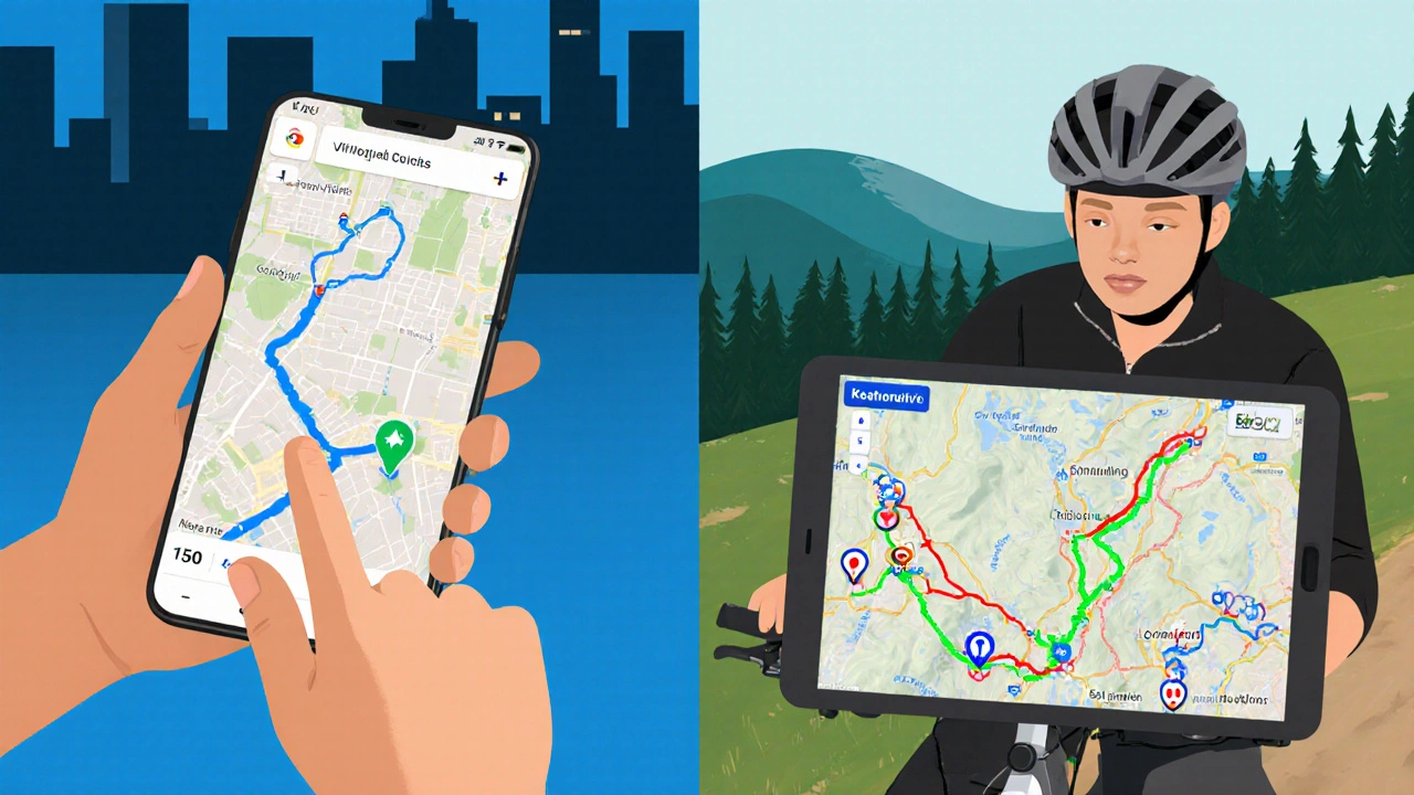
Google Maps for Cycling: Feature Comparison Tool
Google Maps
Free, widely available, integrates with Google services, offers offline maps, and provides traffic-aware routing.
Popular Alternatives
Komoot, Strava Navigation, and Ride with GPS offer rich bike-specific features, community routes, and advanced tracking.
Compare Key Features
Recommended App for Your Riding Style
Why This Fit?
When it comes to Google Maps is a digital mapping service that provides navigation for driving, walking, public transport and, since 2019, cycling, many riders wonder if it’s reliable enough for everyday rides.
Key Takeaways
- Google Maps offers free turn‑by‑turn bike directions in most major cities, but coverage can be spotty in rural areas.
- It shows bike lanes, elevation, and traffic, yet it lacks deep community route curation found in specialist apps.
- Offline maps work, but you need to pre‑download whole regions, which uses storage.
- Alternatives like Komoot, Strava Navigation, and Ride with GPS provide richer bike‑specific features at a modest cost.
- Pick the tool that matches your riding style: casual commuter, weekend explorer, or performance‑focused cyclist.
How Google Maps Handles Cycling
Google’s bike mode calculates routes based on a mix of dedicated bike lanes, shared streets, and the shortest distance. The engine pulls data from city authorities, OpenStreetMap, and user‑generated edits. When a bike lane is marked, the route favours it; otherwise it falls back to the safest street‑level option.
Key attributes you’ll see on the map include:
- Bike lane overlay: green dashed lines indicate protected lanes.
- Elevation profile: a thin line on the route card shows climbs and descents.
- Turn‑by‑turn voice instructions in bike‑friendly language (e.g., “Stay on the bike path”).
- Real‑time traffic (useful for avoiding busy roads even on a bike).
These features make Google Maps a solid “baseline” navigator for city commuting.
Strengths for Cyclists
1. Free and universally available - No subscription needed, and the app works on Android and iOS.
2. Integrated with other Google services - You can save a route in Google Calendar, add a place to Google My Maps, or share via Gmail.
3. Offline maps - After downloading a city or region, you can navigate without a data signal, which is handy for long rides through the countryside.
4. Traffic‑aware routing - Even though cyclists aren’t stuck in traffic jams, the algorithm avoids streets with heavy congestion, improving safety.
Weaknesses You’ll Hit
1. Limited bike‑specific data - Google doesn’t show surface type (paved vs gravel), hill difficulty, or scenic value.
2. Community routes are thin - Unlike specialist apps, you can’t easily download a crowd‑sourced loop from a local club.
3. Battery drain - Continuous GPS and voice prompts can eat a lot of power on older phones.
4. Privacy concerns - Google tracks location data unless you manually pause history.
When Google Maps Is Enough
If you’re a daily commuter who needs a quick, reliable way to get from point A to point B, Google Maps usually does the job. It works well in dense urban areas like London, Manchester, or New York, where bike‑lane data is mature. For occasional weekend rides that stick to paved roads and avoid off‑road trails, its basic elevation graph and offline option are sufficient.
When You Might Want Something More Specialized
For long-distance touring, mountain biking, or when you crave route discovery from fellow cyclists, a dedicated platform shines. Below is a quick side‑by‑side look at the most popular alternatives.
| Feature | Google Maps | Komoot | Strava Navigation | Ride with GPS |
|---|---|---|---|---|
| Bike‑lane overlay | Yes, where data exists | Yes, plus user‑added trails | Limited, focuses on roads | Yes, with custom layers |
| Elevation detail | Basic profile | Detailed with altitude‑gain stats | Integrated with performance data | High‑resolution graphs |
| Offline maps | Whole regions can be saved | Region packs (paid) | Offline route files (free) | Offline GPX files (free) |
| Voice turn‑by‑turn | Standard voice prompts | Customizable voice cues | Minimal, focus on data | Full voice guidance |
| Community routes | Very limited | Strong community, curated tours | Extensive segment library | Route sharing via clubs |
| Cost | Free | Free tier; premium maps $5‑$15/mo | Free tier; premium $5‑$10/mo | Free tier; premium $5‑$12/mo |

Practical Tips to Get the Most Out of Google Maps for Bike Riding
- Enable Bike mode before you start: tap the transport icon, then select the bike.
- Check the layer button and turn on “Bike lanes” to see the green dashed lines.
- Download your city’s map offline: open the menu ➜ Offline maps ➜ Select area.
- Use the “Avoid highways” toggle - it automatically removes high‑speed roads unsuitable for bikes.
- Test the route on a short ride first to see if the suggested streets feel safe.
Common Issues and How to Fix Them
Route ignores bike lanes - Sometimes the data is outdated. Open the “Report a problem” button on the map and flag the missing lane. In the meantime, manually adjust the route by dragging the blue line.
Voice directions keep cutting out - Ensure the phone’s battery‑saving mode isn’t restricting background location. Go to Settings ➜ Battery ➜ Allow background activity for Google Maps.
Elevation looks flat - Google’s profile is simplified for short rides. Export the route as a GPX file (Menu ➜ Share ➜ Save to Files) and view it in a more detailed app like Ride with GPS.
Bottom Line: Is Google Maps Good for Cycling?
For everyday commuting and casual rides in well‑mapped cities, Google Maps cycling is more than adequate. It’s free, reliable, and integrates smoothly with the Google ecosystem. However, power users who crave detailed surface information, community‑curated tours, or advanced performance tracking will feel limited and should consider a purpose‑built app like Komoot or Strava Navigation.
Frequently Asked Questions
Does Google Maps show dedicated bike paths in the UK?
Yes, in most English cities Google Maps includes official bike‑paths and cycle lanes, but the data can lag behind new infrastructure. Checking the local council’s map alongside Google’s view helps verify recent additions.
Can I avoid hills with Google Maps bike routing?
Google Maps does not let you explicitly avoid elevation. The algorithm prefers safer streets over steep climbs, but if you need a flat route, export the GPX and use a tool that lets you filter by elevation gain.
Is the offline bike map feature reliable for long rides?
It works well as long as you download the entire area beforehand. The app caches the vector data, so you’ll still see turn‑by‑turn cues, though live traffic updates disappear offline.
How does Google Maps compare to Komoot for trail riding?
Komoot excels on unpaved trails, offering surface type icons, difficulty ratings, and AI‑curated scenic loops. Google Maps covers major trails only where they’re officially mapped, so for mountain biking or gravel rides Komoot is the better choice.
Can I share a Google Maps bike route with friends?
Yes. After you generate a route, tap the share icon and choose a method (messaging apps, email, or copy link). Recipients will see the same turn‑by‑turn directions in their Google Maps app.